+91-9650179451
kmy@kailashyatra.asia
Welcome to KailashYatra.Asia, Official Partner of CIPSC China
We are Direct agency. Helicopter tours to Mt. Kailash & Mansarovar. Direct flights from Kathmandu & Nepalgunj. Extend your journey to New Delhi or Lucknow
1. Unbeatable value tours! We cover every detail so you relax & enjoy – unlike the rest.
2. Worry-free adventures, maximized! Our tours include everything you need, no surprises.
Pilgrim-approved! Our value-packed tours & stellar customer service earned 5-star ratings for everything: itinerary, stay, pricing, care, & even staff style! Choose quality, choose us!
Our packages offer great value! Book early and save with full payment discounts. Note: Cancellations incur a fee (₹25,000/person for Indians/ Nepalese, $400/person for others/ Rest of world).


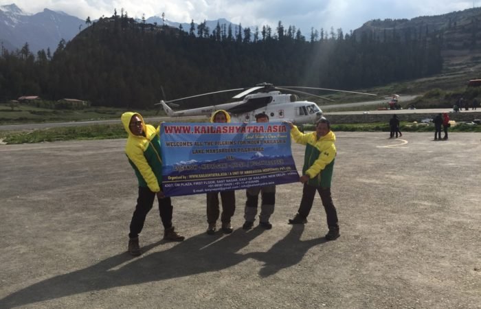


Pioneers in Direct Kailash Mansarovar Pilgrimage via China (High Trust!)
We specialize exclusively in adventure tours (99% of our offerings!), making us experts in crafting unforgettable experiences new agencies simply can’t match
Online payment available! Pay by Credit Card, Debit Card, Netbanking, or even Paypal. No transfer needed.
